Caedes
Upload Images
Welcome guest
Log In or Register
User Stats
- 1 total users online
- 67 users active today
- 264773 total members
- +show users online
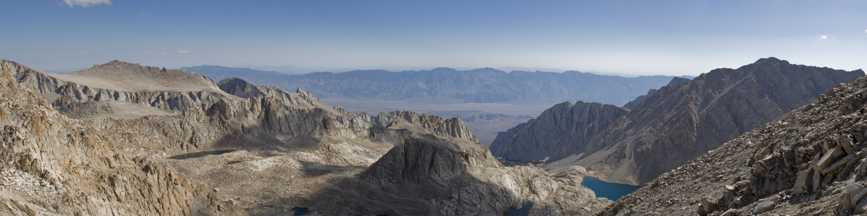
Trail Crest Panorama
© whttiger25
(copyright information)
Uploaded: 09/09/07 12:15 AM GMT
Trail Crest Panorama
Views: 622
Dlds: 58
Status: active
Dlds: 58
Status: active
Gallery:
Photography->Landscape
It's been a while since I've posted a panorama. This was taken from 13,600 feet at "Trail Crest" on the Mt. Whitney trail, the pass where you cross over to the west side of the highest ridges in the Sierra Nevadas. This is looking east, down towards where I started the climb. The bottom of the valley below is around 3500 feet in elevation (for scale).